Greenbelt Park
September 20, 2024 3:20 pm #hiking#nature
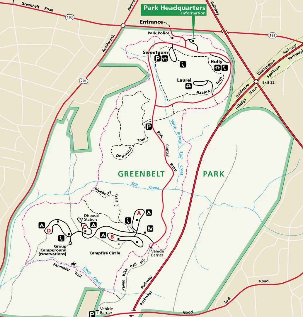
Greenbelt Park Trail Map
Visual description
A park trail map shows Greenbelt Park's layout, with the Perimeter Trail running around the entire park starting near the entrance at the top. The Dogwood and Blueberry trails sit within the interior, and Still Creek runs through the center. Campground areas labeled A through D, roads, parking areas, and park headquarters are marked throughout the map.
This park is close to home, which is the main draw. It's part of the National Park system, not the kind of park you'd expect to find tucked into the DC suburbs. The Perimeter Trail runs all around the park, starting at the entrance, and lets me walk non-stop for 5.3 miles.
There are stretches where you can see buildings and roads from the trail. Not too bad in summer when the leaves fill in, but come winter, a lot more of that shows through. It's not a pretty park by any stretch, but the long trail is exactly what I was looking for, something close by that lets me put in real distance.
The trail itself is easy, mostly flat. Some up and down here and there, but still flat to me. I do wish there were more challenging trails nearby. That's part of living out east, in the city.